![Winter Storm Warning Issued – 8 to 12 Inches Of Snow Expected [Updated]](http://townsquare.media/site/81/files/2012/02/snow-on-State-St-Troy-NY_new_0013_10-19-12-8-31-AM-630x420.jpg?w=980&q=75)
Winter Storm Warning Issued – 8 to 12 Inches Of Snow Expected [Updated]
[Updated 05:30 PM 1/2/14]
Looks like we'll be starting the New Year out white.
A winter storm is gearing up to hit the Capital Region and because of that, the National Weather Service has issued a WINTER STORM WARNING for the entire Q103 listening area.
The WARNING that will continue through 10 AM Friday, January 3.
What can we expect?
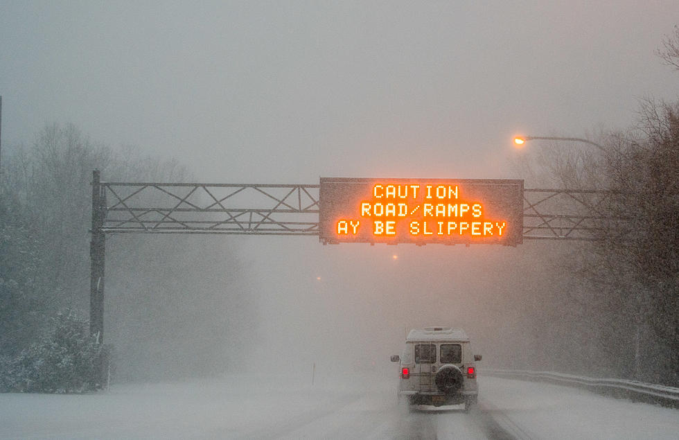
New predictions indicated 6 to 12 inches of snow over the course of the storm with as much as an inch an hour falling during the peak of the storm. There could locally heavier amounts up to 15 inches, esp in high elevations
The snow will become steady throughout Thursday, with the heaviest coming Thursday evening and night. The snow will continue to fall until sunrise Friday morning. Low visibility, of less than half a mile, and heavily snow covered roads are the immediate threats with the storm.
Wind Chill temperatures will hit 10 below to 25 below zero. Winds speeds will reach 5 to 15 MPH with guest up to 25 MPH
With the slow build of the storm; many weather experts say to stay ahead of the snow fall to avoid digging yourself out when it's all over. This means shoveling several times throughout Thursday so you don't have the total amount to deal with come Friday morning.
Here's the latest from the National Weather Service:
SNOWFALL RATES WILL INCREASE ACROSS THE GREATER CAPITAL DISTRICT...EASTERN MOHAWK VALLEY...SOUTHERN VERMONT AND BERKSHIRE COUNTY DURING THE EVENING HOURS...
A BAND OF MODERATE TO HEAVY SNOW WAS DEVELOPING ALONG THE I-88 CORRIDOR INTO THE CAPITAL DISTRICT. THIS BAND WILL EXPAND NORTHEAST AND INTENSIFY THROUGH THE EVENING HOURS...ESPECIALLY DURING THE EVENING COMMUTE.
MANY OF THESE AREAS WILL SEE AN INCH AN HOUR OF SNOWFALL...WITH SOME LOCALES PICKING UP 1-2 INCHES PER HOUR DURING THIS EVENING
Stay tuned to Q103 for the latest storm information, along with closings and delays all throughout Thursday and Friday morning.
School Closings and Delays
More From Q 105.7